

활용사례
| 제목 | Diagnosing Numerical Weather Prediction Forecast Errors Using Geo-Kompsat-2A Observed and Simulated Water?Vapor Imagery Within A Potential-Vorticity Dynamical Framework | ||
|---|---|---|---|
| 국/내외 | 국내 | 작성일 | 2026-09-07 |
|
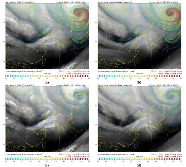
This study presents an integrated framework combining water vapor (WV) imagery, simulated water vapor (SWV), and potential vorticity (PV) diagnostics to systematically identify errors in numerical weather prediction (NWP). The analysis employs a radiance-space comparison among Geo-Kompsat-2A (GK2A) WV observations, model-simulated WV fields, and dynamically coherent PV structures. Model-equivalent WV images were generated from outputs of the Korean Integrated Model (KIM) using the Radiative Transfer for TOVS (RTTOV) model under all-sky conditions. Phase-displacement vectors and phase-corrected brightness-temperature difference fields were derived using a variational echo-tracking technique built upon the McGill Algorithm for Precipitation Nowcasting by Lagrangian Extrapolation (MAPLE). PV fields derived from KIM were composited with WV imagery to establish a dynamically consistent reference framework linking upper-tropospheric moisture structures with tropopause-level flow features. Quantitative validation over East Asia during a 1-year period (January 2025–January 2026) showed systematic reductions in root-mean-square error (RMSE) and increases in spatial correlation after phase correction across all WV channels and forecast lead times, confirming the reliability of the displacement vectors. The framework was further evaluated through two midlatitude weather events representing different manifestations of upper-level dynamical development, demonstrating its capability to diagnose forecast-error characteristics using physically consistent WV–PV–SWV relationships. |
|||
| 출처 | https://link.springer.com/ | ||
연관위성영상
-
 카타르:Aspire Dome(2026-09-06)
2026-09-28
-
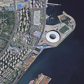 중국:Binhai Park(2026-09-06)
2026-09-28
-
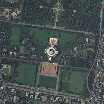 방글라데시:National Parliament House(2026-09-04)
2026-09-28
연관활용사례
-
KOMPSAT 객체탐지 데이터...
지리
2026-10-06
-
Land Cover Class...
토양
2026-09-21
-
Feasibility Asse...
해양
2026-09-14
연관미디어
-
항우연
천리안위성 2A호, 스마...
2019-07-25
-
항우연
천리안위성 2A호가 최초...
2019-02-07

네팔:지진(2015-05-05)
| 카테고리 | 재난재해 |
|---|---|
| 위성정보 | KOMPSAT-3 |
| 생성일 | 2015-03-24 |
세부정보
| ProductID | K3_20150505073608_15817_06161210 |
|---|---|
| 국가(영문) | Nepal |
| 국가 | 네팔 |
| 지역 | Pokhara |
| 레벨 | 1R |