활용사례
| 제목 | International Charter: Landslide and floods in South Korea | ||
|---|---|---|---|
| 국/내외 | 국내 | 작성일 | 2020-09-08 |
|
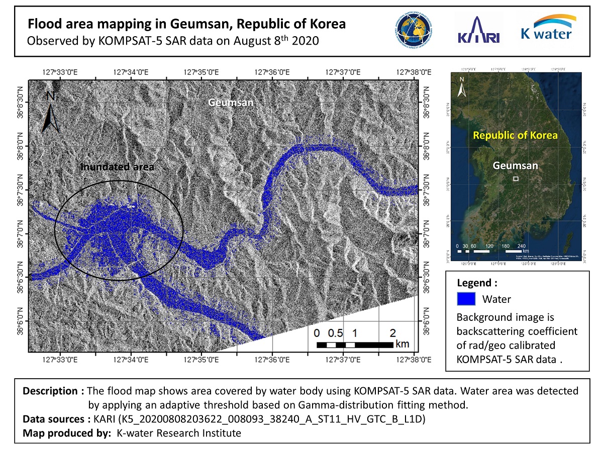
At least 30 people are dead and a dozen are missing after more than a week of devastating torrential rain caused landslides in South Korea as it battles the longest monsoon since 2013. Current weather forecasts predict that this year's monsoon may last longer. |
|||
| 출처 | International Charter | ||
| 이전글 | 원격 탐사 영상을 활용한 CNN 기반의 초해상화 기법 연구 |
|---|---|
| 다음글 | Change detection by using KOMPSAT-5 InSAR data |
연관위성영상
-
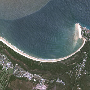 호주:사우스 웨스트 록스(2022-09-27)
2023-09-14
-
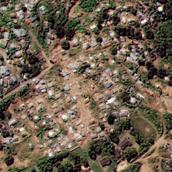 남아공:폭우로 인한 홍수(2022-04-21)
2022-04-25
-
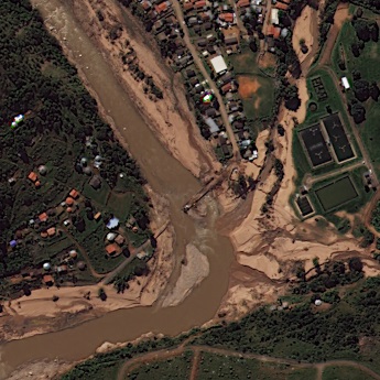 남아공:홍수와 산사태(2022-04-21)
2022-05-02
연관활용사례
-
Wildfire in Chile
재해
2024-04-04
-
KOMPSAT-3/3A 영상 ...
해양
2023-12-04
-
다목적실용위성 3A 영상정보의...
지리
2023-11-07
최신미디어
-
항우연
항우연, 심우주탐사를 위...
2024-03-14
-
항우연
대한민국 최초 달 궤도선...
2024-03-14

네팔:지진(2015-05-05)
| 카테고리 | 재난재해 |
|---|---|
| 위성정보 | KOMPSAT-3 |
| 생성일 | 2015-03-24 |
세부정보
| ProductID | K3_20150505073608_15817_06161210 |
|---|---|
| 국가(영문) | Nepal |
| 국가 | 네팔 |
| 지역 | Pokhara |
| 레벨 | 1R |