활용사례
| 제목 | Incremental Learning with Neural Network Algorithm for the Monitoring Pre-Convective Environments Using Geostationary Imager | ||
|---|---|---|---|
| 국/내외 | 국외 | 작성일 | 2022-10-26 |
|
Early warning of severe weather caused by intense convective weather systems is challenging. To help such activities, meteorological satellites with high temporal and spatial resolution have been utilized for the monitoring of instability trends along with water vapor variation. The current study proposes a retrieval algorithm based on an artificial neural network (ANN) model to quickly and efficiently derive total precipitable water (TPW) and convective available potential energy (CAPE) from Korea’s second geostationary satellite imagery measurements (GEO-KOMPSAT-2A/Advanced Meteorological Imager (AMI)). To overcome the limitations of the traditional static (ST) learning method such as exhaustive learning, impractical, and not matching in a sequence data, we applied an ANN model with incremental (INC) learning. The INC ANN uses a dynamic dataset that begins with the existing weight information transferred from a previously learned model when new samples emerge. To prevent sudden changes in the distribution of learning data, this method uses a sliding window that moves along the data with a window of a fixed size. Through an empirical test, the update cycle and the window size of the model are set to be one day and ten days, respectively. For the preparation of learning datasets, nine infrared brightness temperatures of AMI, six dual channel differences, temporal and geographic information, and a satellite zenith angle are used as input variables, and the TPW and CAPE from ECMWF model reanalysis (ERA5) data are used as the corresponding target values over the clear-sky conditions in the Northeast Asia region for about one year. Through the accuracy tests with radiosonde observation for one year, the INC NN results demonstrate improved performance (the accuracy of TPW and CAPE decreased by approximately 26% and 26% for bias and about 13% and 12% for RMSE, respectively) when compared to the ST learning. Evaluation results using ERA5 data also reveal more stable error statistics over time and overall reduced error distribution compared with ST ANN. |
|||
| 출처 | MDPI | ||
| 이전글 | Land Use and Land Cover Mapping from Kompsat-5 X-band Co-polarized Data Using Conditional Generative Adversarial Network |
|---|---|
| 다음글 | 다목적실용위성 영상처리 및 활용 |
연관위성영상
-
 사우디아라비아:더 라인(2023-02-18)
2023-08-25
-
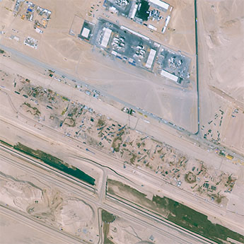
 그리스 공화국:산토리니 섬(2022-11-24)
2022-12-05
-
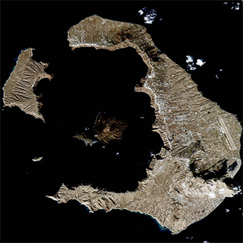
 칠레:사막의 손(2021-05-16)
2021-07-08
연관활용사례
-
SSResUnet 모델을 이용...
토양
2024-04-19
-
Wildfire in Chile
재해
2024-04-04
-
KOMPSAT-3A 영상에 대...
지리
2024-04-04
최신미디어
-
항우연
항우연, 심우주탐사를 위...
2024-03-14
-
항우연
대한민국 최초 달 궤도선...
2024-03-14

네팔:지진(2015-05-05)
| 카테고리 | 재난재해 |
|---|---|
| 위성정보 | KOMPSAT-3 |
| 생성일 | 2015-03-24 |
세부정보
| ProductID | K3_20150505073608_15817_06161210 |
|---|---|
| 국가(영문) | Nepal |
| 국가 | 네팔 |
| 지역 | Pokhara |
| 레벨 | 1R |