활용사례
| 제목 | International Charter : Hurricane Irma in Caribbean | ||
|---|---|---|---|
| 국/내외 | 국내 | 작성일 | 2017-09-12 |
|
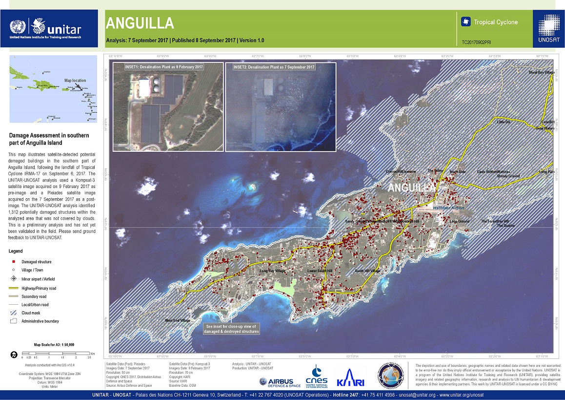
A red alert has been issued for Hurricane Irma, a Category 5 storm, that is slowly approaching the western part of the Caribbean. |
|||
| 출처 | International Charter | ||
| 이전글 | 스위스 Bondo 산사태 |
|---|---|
| 다음글 | 세인트마틴 섬의 허리케인 어마(Hurricane Irma) 전후 비교 |
연관위성영상
-
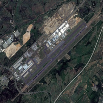 남아프리카공화국:킹 샤카 국제공항(2022/3/12 )
2022-04-21
-
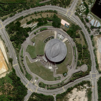 말레이시아:푸트라자야 컨벤션 센터(2021-06-21)
2021-11-16
-
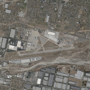 미국:샌버너디노 국제공항(2021-01-06)
2021-07-23
연관활용사례
-
Lake detection a...
환경
2025-07-01
-
Flood in Brazil
재해
2025-06-26
-
KOMPSAT-5 영상과 RP...
지리
2025-06-23
최신미디어
-
과기정통부
47m 누리호, 우주의 ...
2025-05-29
-
항우연
한국항공우주연구원 홈페이...
2025-05-16

네팔:지진(2015-05-05)
| 카테고리 | 재난재해 |
|---|---|
| 위성정보 | KOMPSAT-3 |
| 생성일 | 2015-03-24 |
세부정보
| ProductID | K3_20150505073608_15817_06161210 |
|---|---|
| 국가(영문) | Nepal |
| 국가 | 네팔 |
| 지역 | Pokhara |
| 레벨 | 1R |