활용사례
| 제목 | Land Use and Land Cover Mapping from Kompsat-5 X-band Co-polarized Data Using Conditional Generative Adversarial Network | ||
|---|---|---|---|
| 국/내외 | 국내 | 작성일 | 2022-04-05 |
|
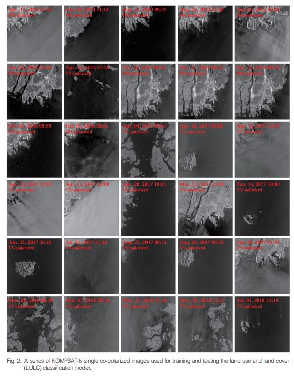
Land use and land cover (LULC) mapping is an important factor in geospatial analysis. Although highly precise ground-based LULC monitoring is possible, it is time consuming and costly. Conversely, because the synthetic aperture radar (SAR)sensor is an all-weathersensor with high resolution, it could replace field-based LULC monitoring systems with low cost and less time requirement. Thus, LULC is one of the major areas in SAR applications. We developed a LULC model using only KOMPSAT-5 single co-polarized data and digital elevation model (DEM) data. Twelve HH-polarized images and 18 VV-polarized images were collected, and two HH-polarized images and four VV-polarized images were selected for the model testing.To train the LULC model, we applied the conditional generative adversarial network (cGAN) method. We used U-Net combined with the residual unit (ResUNet) model to generate the cGAN method.When analyzing the training history at 1732 epochs, the ResUNet model showed a maximum overall accuracy (OA) of 93.89 and a Kappa coefficient of 0.91. The model exhibited high performance in the test datasets with an OA greater than 90. The model accurately distinguished water body areas and showed lower accuracy in wetlands than in the other LULC types. The effect of the DEM on the accuracy of LULC was analyzed. When assessing the accuracy with respect to the incidence angle, owing to the radarshadow caused by the side-looking system of the SAR sensor, the OAtended to decrease asthe incidence angle increased. Thisstudy isthe first to use only KOMPSAT-5 single co-polarized data and deep learning methods to demonstrate the possibility of high-performance LULC monitoring. This study contributes to Earth surface monitoring and the development of deep learning approaches using the KOMPSAT-5 data. |
|||
| 출처 | 대한원격탐사학회지 | ||
연관위성영상
-
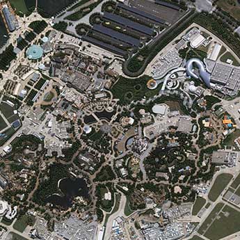 중국:상하이 디즈니랜드(2022-07-28)
2023-01-05
-
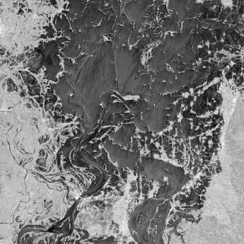 방글라데시:홍수(2022-07-04)
2022-08-08
-
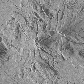 필리핀:불루산 볼케이노(2022-06-17)
2022-06-22
연관활용사례
-
Applicability of...
환경
2025-07-07
-
Lake detection a...
환경
2025-07-01
-
Flood in Brazil
재해
2025-06-26
최신미디어
-
과기정통부
47m 누리호, 우주의 ...
2025-05-29
-
항우연
한국항공우주연구원 홈페이...
2025-05-16

네팔:지진(2015-05-05)
| 카테고리 | 재난재해 |
|---|---|
| 위성정보 | KOMPSAT-3 |
| 생성일 | 2015-03-24 |
세부정보
| ProductID | K3_20150505073608_15817_06161210 |
|---|---|
| 국가(영문) | Nepal |
| 국가 | 네팔 |
| 지역 | Pokhara |
| 레벨 | 1R |