활용사례
| 제목 | Flash Floods in South Korea | ||
|---|---|---|---|
| 국/내외 | 국내 | 작성일 | 2023-08-17 |
|
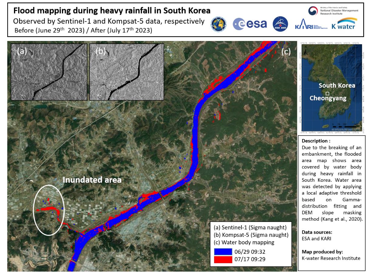
South Korea has been hit by heavy rainfall since 9 July which has intensified over the past week and is expected to continue until 23 July in some regions. The torrential rainfall has triggered flash floods and landslides across the country. |
|||
| 출처 | International Charter | ||
| 이전글 | Incremental Learning with Neural Network Algorithm for the Monitoring Pre-Convective Environments Using Geostationary Imager |
|---|---|
| 다음글 | 심층신경망과 천리안위성 2A호를 활용한 지상기온 추정에 관한 연구 |
연관위성영상
-
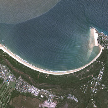 호주:사우스 웨스트 록스(2022-09-27)
2023-09-14
-
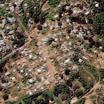 남아공:폭우로 인한 홍수(2022-04-21)
2022-04-25
-
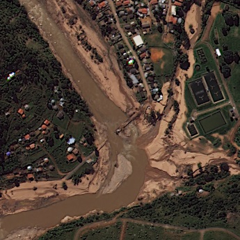 남아공:홍수와 산사태(2022-04-21)
2022-05-02
연관활용사례
-
Applicability of...
환경
2025-07-07
-
Lake detection a...
환경
2025-07-01
-
Flood in Brazil
재해
2025-06-26
최신미디어
-
과기정통부
47m 누리호, 우주의 ...
2025-05-29
-
항우연
한국항공우주연구원 홈페이...
2025-05-16

네팔:지진(2015-05-05)
| 카테고리 | 재난재해 |
|---|---|
| 위성정보 | KOMPSAT-3 |
| 생성일 | 2015-03-24 |
세부정보
| ProductID | K3_20150505073608_15817_06161210 |
|---|---|
| 국가(영문) | Nepal |
| 국가 | 네팔 |
| 지역 | Pokhara |
| 레벨 | 1R |