활용사례
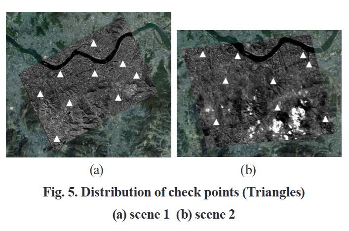
| 제목 | 고해상도 위성 데이터 기하보정 정확도 향상을 위한 영상 분할 기반 RPCs 보정 | ||
|---|---|---|---|
| 국/내외 | 국내 | 작성일 | 2025-04-16 |
|
Abstract |
|||
| 출처 | dbpia.co.kr | ||
| 이전글 | Flood in Peru |
|---|---|
| 다음글 | Flood in Peru |
연관위성영상
-
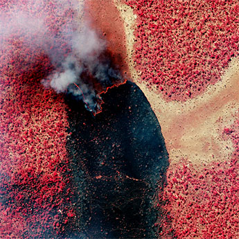
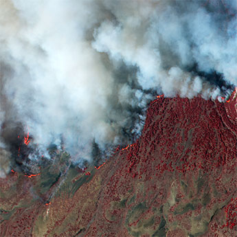 스페인:화재(위색영상)(2023-08-19)
2023-08-25
-
 탄자니아:화재(위색영상)(2023-07-09)
2023-08-08
-
 캐나다:화재(위색영상)(2023-07-07)
2023-08-08
연관활용사례
-
KOMPSAT-5 영상과 RP...
지리
2025-06-23
-
KOMPSAT-3/3A 위성...
지리
2025-04-10
-
UNet 기반 딥러닝 모델의 ...
지리
2025-03-07
연관미디어
-
보도자료
[뉴스워커_송년특집기획]...
2019-12-23
-
항우연
다누리, 연장 임무 궤도...
2025-02-21
-
항우연
누리호 5차 발사 부탑재...
2024-12-16

네팔:지진(2015-05-05)
| 카테고리 | 재난재해 |
|---|---|
| 위성정보 | KOMPSAT-3 |
| 생성일 | 2015-03-24 |
세부정보
| ProductID | K3_20150505073608_15817_06161210 |
|---|---|
| 국가(영문) | Nepal |
| 국가 | 네팔 |
| 지역 | Pokhara |
| 레벨 | 1R |