다목적실용위성 6호 수신처리시스템 SAR/AIS 융합 기법 연구
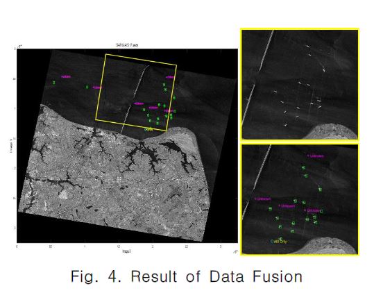
본 논문은 다목적실용위성 6호 수신처리시스템 개발 과정에서 수행한 SAR(Synthetic Aperture Radar)/AIS (Automatic Identification System) 융합 기법 연구 내용을 소개한다. 다목적실용위성 6호 수신처리시스템은 위성의 영상촬영 계획 수립, 고용량 위성 데이터 수신, 고속 SAR 영상처리, 제품 생성, 후처리 임무를 수행한다. 후처리 임무 중 하나의 기능으로 ...
지리
2024-04-24
국내
항공우주학회