활용사례
| 제목 | 서울 도시계획 정책을 적용한 기후영향평가 - 남북녹지축 조성사업을 대상으로 - | ||
|---|---|---|---|
| 국/내외 | 국내 | 작성일 | 2016-12-22 |
|
When making urban planning, it is important to understand climate effect caused by urban structural changes. Seoul city applies UPIS(Urban Plan Information System) which provides information on urban planning scenario. Technology for analyzing climate effect resulted from urban planning needs to developed by linking urban planning scenario provided by UPIS and climate analysis model, CAS(Climate Analysis Seoul). CAS develops for analyzing urban climate conditions to provide realistic information considering local air temperature and wind flows. Quantitative analyses conducted by CAS for the production, transportation, and stagnation of cold air, wind flow and thermal conditions by incorporating GIS analysis on land cover and elevation and meteorological analysis from MetPhoMod(Meteorology and atmospheric Photochemistry Meso-scale model). In order to reflect land cover and elevation of the latest information, CAS used to highly accurate raster data (1m) sourced from LiDAR survey and KOMPSAT-2(KOrea Multi-Purpose SATellite) satellite image(4m). For more realistic representation of land surface characteristic, DSM(Digital Surface Model) and DTM(Digital Terrain Model) data used as an input data for CFD(Computational Fluid Dynamics) model. Eight inflow directions considered to investigate the change of flow pattern, wind speed according to reconstruction and change of thermal environment by connecting green area formation. Also, MetPhoMod in CAS data used to consider realistic weather condition. The result show that wind corridors change due to reconstruction. As a whole surface temperature around target area decreases due to connecting green area formation. CFD model coupled with CAS is possible to evaluate the wind corridor and heat environment before/after reconstruction and connecting green area formation. In This study, analysis of climate impact before and after created the green area, which is part of `Connecting green network across the north and south in Seoul` plan, one of the `2020 Seoul master plan`. |
|||
| 출처 | 환경영향평가(ScienceON 제공) | ||

| 이전글 | MODIS와 기상자료 기반 회선신경망 알고리즘을 이용한 남한 전역 쌀 생산량 추정 |
|---|---|
| 다음글 | 홍수매핑을 위한 레이더 영상 필터의 비교분석 |
연관위성영상
-
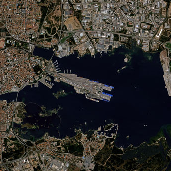
 스페인:마드리드 왕궁(2025-05-29)
2025-06-23
-
 이탈리아:Porto di Olbia(2025-05-25)
2025-06-09
-
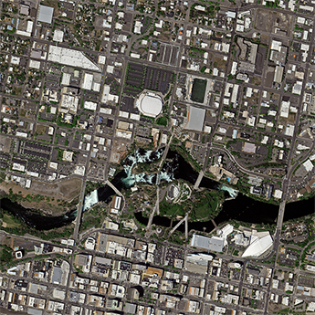 미국:Spokane Falls(2025-05-24)
2025-06-09
연관활용사례
-
Applicability of...
환경
2025-07-07
-
Lake detection a...
환경
2025-07-01
-
Flood in Brazil
재해
2025-06-26
연관미디어
-
보도자료
[한국 농업 기후위기 대...
2025-02-25
-
항우연
한국항공우주연구원-한국인...
2024-07-09
-
항우연
다누리가 달 상공에서 촬...
2023-01-04

네팔:지진(2015-05-05)
| 카테고리 | 재난재해 |
|---|---|
| 위성정보 | KOMPSAT-3 |
| 생성일 | 2015-03-24 |
세부정보
| ProductID | K3_20150505073608_15817_06161210 |
|---|---|
| 국가(영문) | Nepal |
| 국가 | 네팔 |
| 지역 | Pokhara |
| 레벨 | 1R |