활용사례
| 제목 | 이종 공간 데이터를 활용한 에지 정보 기반 도시 지역 변화 탐지 | ||
|---|---|---|---|
| 국/내외 | 국내 | 작성일 | 2016-12-23 |
|
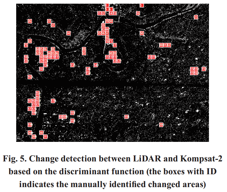
Change detection using the heterogeneous data such as aerial images, aerial LiDAR (Light Detection And Ranging), and satellite images needs to be developed to efficiently monitor the complicating land use change. We approached this problem not relying on the intensity value of the geospatial image, but by using RECC(Relative Edge Cross Correlation) which is based on the edge information over the urban and suburban area. The experiment was carried out for the aerial LiDAR data with high-resolution Kompsat-2 and -3 images. We derived the optimal window size and threshold value for RECC-based change detection, and then we observed the overall change detection accuracy of 80% by comparing the results to the manually acquired reference data. |
|||
| 출처 | 한국측량학회지(KoreaScience 제공) | ||
| 이전글 | 홍수매핑을 위한 레이더 영상 필터의 비교분석 |
|---|---|
| 다음글 | 산사태 취약성 분석: ASTER 위성영상을 이용한 점토광물인자 추출 및 공간데이터베이스의 SVM 통계기법 적용 |
연관위성영상
-
 스페인:마드리드 왕궁(2025-05-29)
2025-06-23
-
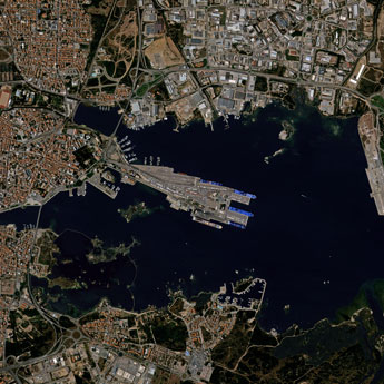 이탈리아:Porto di Olbia(2025-05-25)
2025-06-09
-
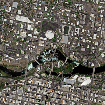 미국:Spokane Falls(2025-05-24)
2025-06-09
연관활용사례
-
고해상도 위성 데이터 기하보정...
지리
2025-04-16
-
KOMPSAT-3/3A 위성...
지리
2025-04-10
-
UNet 기반 딥러닝 모델의 ...
지리
2025-03-07
연관미디어
-
항우연
누리호 3차 발사 비행정...
2023-06-26
-
과기정통부
이종호 장관, 누리호 3...
2023-04-07

네팔:지진(2015-05-05)
| 카테고리 | 재난재해 |
|---|---|
| 위성정보 | KOMPSAT-3 |
| 생성일 | 2015-03-24 |
세부정보
| ProductID | K3_20150505073608_15817_06161210 |
|---|---|
| 국가(영문) | Nepal |
| 국가 | 네팔 |
| 지역 | Pokhara |
| 레벨 | 1R |