활용사례
| 제목 | Performance Analysis of Pansharpening Algorithms Based on Guided Filtering Applied to KOMPSAT-3/3A Satellite Imagery in Coastal Areas | ||
|---|---|---|---|
| 국/내외 | 국내 | 작성일 | 2019-10-18 |
|
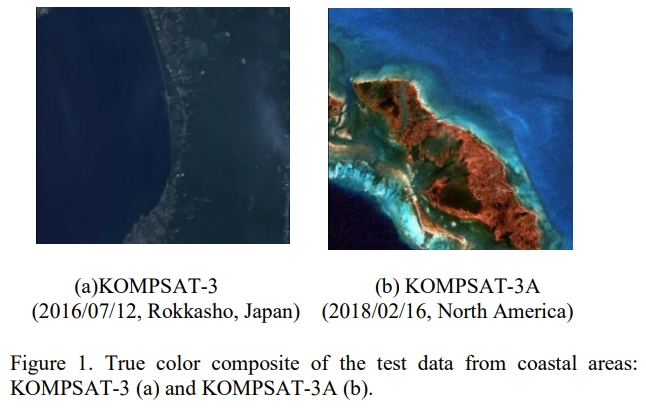
Image fusion algorithms, also known as pansharpening algorithms, can improve the spatial resolution of multispectral images using high-resolution original panchromatic images. Pansharpening algorithms are used in preprocessing steps for image classification, change detection, and image interpretation, and they have been used in various marine applications. In this study, we applied various guided filtering (GF)-based pansharpening techniques to multispectral images with high spatial resolutions in coastal areas and evaluated the quality of the resulting pansharpened images. Specifically, we analyzed the results of GF-based pansharpening techniques according to the characteristics of the guidance and filtering input images used in GF. The experimental results show that the spatial and spectral qualities of GF-based pansharpened images in the studied coastal areas are determined by the characteristics of the filtering input image. Additionally, the results of GF-based pansharpening display spectral distortion and spatial clarity characteristics similar to those of component substitution (CS) and multiresolution analysis (MRA)-based techniques. The obtained GF-based pansharpening results can be used in various coastal applications. |
|||
| 출처 | Journal of Coastal Research | ||
| 이전글 | Status of Korean Research Activity on Arctic Sea Ice Monitoring using KOMPSAT-series Satellite |
|---|---|
| 다음글 | 다중시기 위성 레이더 영상을 활용한 변화탐지 기술 리뷰 |
연관위성영상
-
 미국:자유의 여신상(2023-11-03)
2023-11-14
-
 리비아:데르나 홍수(2023-09-13)
2023-09-18
-
 스페인:홍수(2023-09-06)
2023-09-14
연관활용사례
-
SSResUnet 모델을 이용...
토양
2024-04-19
-
Wildfire in Chile
재해
2024-04-04
-
KOMPSAT-3A 영상에 대...
지리
2024-04-04
최신미디어
-
과기정통부
국내 최초 양산형 초소형...
2024-04-26
-
과기정통부
초소형군집위성 1호 발사...
2024-04-24

네팔:지진(2015-05-05)
| 카테고리 | 재난재해 |
|---|---|
| 위성정보 | KOMPSAT-3 |
| 생성일 | 2015-03-24 |
세부정보
| ProductID | K3_20150505073608_15817_06161210 |
|---|---|
| 국가(영문) | Nepal |
| 국가 | 네팔 |
| 지역 | Pokhara |
| 레벨 | 1R |