활용사례
| 제목 | Feasibility of Vegetation Temperature Condition Index for monitoring desertification in Bulgan, Mongolia | ||
|---|---|---|---|
| 국/내외 | 국내 | 작성일 | 2016-03-24 |
|
Desertification monitoring as a main portion for understand desertification, have been conducted by many scientists. However, the stage of research remains still in the level of comparison of the past and current situation. In other words, monitoring need to focus on finding methods of how to take precautions against desertification. In this study, Vegetation Temperature Condition Index (VTCI), derived from Normalized Difference Vegetation Index (NDVI) and Land Surface Temperature (LST), was utilized to observe the distribution change of vegetation. The index can be used to monitor drought occurrences at a regional level for a special period of a year, and it can also be used to study the spatial distribution of drought within the region. Techniques of remote sensing and Geographic Information System (GIS) were combined to detect the distribution change of vegetation with VTCI. As a result, assuming that the moisture condition is the only main factor that affects desertification, we found that the distribution of vegetation in Bulgan, Mongolia could be predicted in a certain degree, using VTCI. Although desertification is a complicated process and many factors could affect the result. This study is helpful to provide a strategic guidance for combating desertification and allocating the use of the labor force. Key Words : Desertification monitoring, Remote sensing, GIS, VTCI |
|||
| 출처 | 대한원격탐사학회지(NDSL 제공) | ||

| 이전글 | 침엽수종 분류를 위한 초분광영상과 다중분광영상의 비교 |
|---|---|
| 다음글 | Classification of Crop Lands over Northern Mongolia Using Multi-Temporal Landsat TM Data |
연관위성영상
-
 영국:홀리루드 궁전(2022-09-23)
2022-09-28
-
 시리아:시리아의 요새(2022/5/10 )
2022-07-06
-
 남아공:폭우로 인한 홍수(2022-04-21)
2022-04-25
연관활용사례
-
The Impact of GC...
해양
2024-05-10
-
SSResUnet 모델을 이용...
토양
2024-04-19
-
Wildfire in Chile
재해
2024-04-04
최신미디어
-
과기정통부
국내 최초 양산형 초소형...
2024-04-26
-
과기정통부
초소형군집위성 1호 발사...
2024-04-24

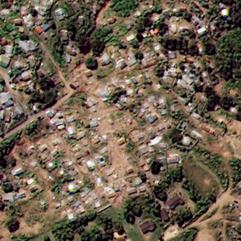
네팔:지진(2015-05-05)
| 카테고리 | 재난재해 |
|---|---|
| 위성정보 | KOMPSAT-3 |
| 생성일 | 2015-03-24 |
세부정보
| ProductID | K3_20150505073608_15817_06161210 |
|---|---|
| 국가(영문) | Nepal |
| 국가 | 네팔 |
| 지역 | Pokhara |
| 레벨 | 1R |