활용사례
| 제목 | Classification of Crop Lands over Northern Mongolia Using Multi-Temporal Landsat TM Data | ||
|---|---|---|---|
| 국/내외 | 국내 | 작성일 | 2016-03-24 |
|
Although the need of crop production has increased in Mongolia, crop cultivation is very limited because of the harsh climatic and topographic conditions. Crop lands are sparsely distributed with relatively small sizes and, therefore, it is difficult to survey the exact area of crop lands. The study aimed to find an easy and effective way of accurate classification to map crop lands in Mongolia using satellite images. To classify the crop lands over the study area in northern Mongolia, four classifications were carried out by using 1) Thematic Mapper (TM) image August 23, 2) TM image of July 6, 3) combined 12 bands of TM images of July and August, and 4) both TM images of July and August by layered classification. Wheat and potato are the major crop types and they show relatively high variation in crop conditions between July and August. On the other hands, other land cover types (forest, riparian vegetation, grassland, water and bare soil) do not show such difference between July and August. The results of four classifications clearly show that the use of multitemporal images is essential to accurately classify the crop lands. The layered classification method, in which each class is separated by a subset of TM images, shows the highest classification accuracy (93.7%) of the crop lands. The classification accuracies are lower when we use only a single TM image of either July or August. Because of the different planting practice of potato and the growth condition of wheat, the spectral characteristics of potato and wheat cannot be fully separated from other cover types with TM image of either July or August. Further refinements on the spatial characteristics of existing crop lands may enhance the crop mapping method in Mongolia. Key Words : crop classification, Mongolia, TM, multi-temporal images |
|||
| 출처 | 대한원격탐사학회지(NDSL 제공) | ||

| 이전글 | Feasibility of Vegetation Temperature Condition Index for monitoring desertification in Bulgan, Mongolia |
|---|---|
| 다음글 | 원격탐사 활용 연안관리 |
연관위성영상
-
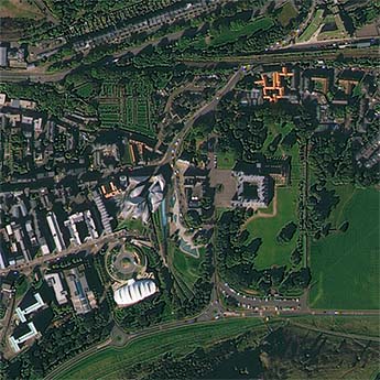 영국:홀리루드 궁전(2022-09-23)
2022-09-28
-
 시리아:시리아의 요새(2022/5/10 )
2022-07-06
-
 남아공:폭우로 인한 홍수(2022-04-21)
2022-04-25
연관활용사례
-
KOMPSAT-3/3A 영상으...
토양
2024-04-19
-
SSResUnet 모델을 이용...
토양
2024-04-19
-
Wildfire in Chile
재해
2024-04-04
최신미디어
-
과기정통부
국내 최초 양산형 초소형...
2024-04-26
-
과기정통부
초소형군집위성 1호 발사...
2024-04-24

네팔:지진(2015-05-05)
| 카테고리 | 재난재해 |
|---|---|
| 위성정보 | KOMPSAT-3 |
| 생성일 | 2015-03-24 |
세부정보
| ProductID | K3_20150505073608_15817_06161210 |
|---|---|
| 국가(영문) | Nepal |
| 국가 | 네팔 |
| 지역 | Pokhara |
| 레벨 | 1R |