활용사례
| 제목 | Development of Multi-Strip Image Mosaicking for KOMPSAT-3A Images | ||
|---|---|---|---|
| 국/내외 | 국내 | 작성일 | 2024-05-28 |
|
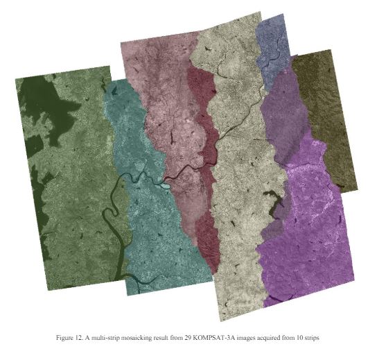
Abstract. High-resolution satellite imagery has a limitation in terms of coverage area. This limitation presents challenges for extensive-scale analysis at regional or national levels. To maximize the utility of high-resolution satellite imagery, the implementation of image mosaicking techniques is essential. In this paper, we have developed seamline extraction techniques and relative geometric correction optimized for high-resolution satellite imagery. Ultimately, we proposed a multi-strip image mosaicking method for KOMPSAT-3A (Korea Multi-Purpose Satellite-3A) images. We applied the Dijkstra's shortest path algorithm to efficiently extract seamlines. we also performed image registration based on feature matching and homography transformation to correct the relative geometric errors between input images. We conducted experiments with our methods using 29 scenes from KOMPSAT-3A L1G data. The results indicated high relative geometric accuracy, with an average error of 1.63 pixels. Furthermore, we were able to obtain high-quality seamless mosaic images. Our proposed method is expected to enhance the utility of KOMPSAT-3A imagery for large-scale environmental and urban analysis and to provide more accurate and comprehensive data. |
|||
| 출처 | ISPRS | ||
| 이전글 | DInSAR를 이용한 2021년 몽골 Hovsgol 지진 변위 관측 및 역산 |
|---|---|
| 다음글 | 위성 레이더 영상을 활용한 강도 기반 변화탐지기술 활용 사례연구 |
연관위성영상
-
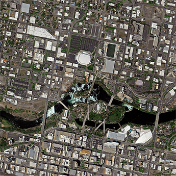 미국:Spokane Falls(2025-05-24)
2025-06-09
-
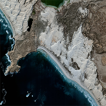 호주:Cactus Beach(2025-05-21)
2025-06-23
-
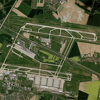 독일:라이프치히 할레 공항(2025-05-06)
2025-06-09
연관활용사례
-
Lake detection a...
환경
2025-07-01
-
Flood in Brazil
재해
2025-06-26
-
KOMPSAT-5 영상과 RP...
지리
2025-06-23
최신미디어
-
과기정통부
47m 누리호, 우주의 ...
2025-05-29
-
항우연
한국항공우주연구원 홈페이...
2025-05-16

네팔:지진(2015-05-05)
| 카테고리 | 재난재해 |
|---|---|
| 위성정보 | KOMPSAT-3 |
| 생성일 | 2015-03-24 |
세부정보
| ProductID | K3_20150505073608_15817_06161210 |
|---|---|
| 국가(영문) | Nepal |
| 국가 | 네팔 |
| 지역 | Pokhara |
| 레벨 | 1R |